A Rhodes boat tour map is mostly a map of two harbours and one coast: Mandraki in Rhodes Town, the Faliraki side, and the east-coast bays that the boats swim in. I pinned the boat companies, piers, marinas and sights from my Google Maps data below, and each pin links to the matching tour when the company name matches. For the tours themselves, see my guide to boat tours in Rhodes.
24Colossus of Rhodes · Sight near the water · Google Maps
25Street of the Knights of Rhodes · Sight near the water · Google Maps
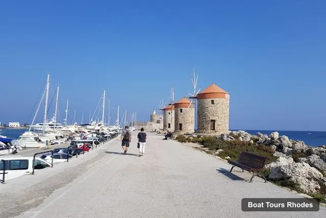
26Windmills of Rhodes · Sight near the water · Google Maps
27Clock Tower of Rhodes · Sight near the water · Google Maps
28Ancient Stadium of Rhodes · Sight near the water · Google Maps
The Rhodes boat tour map covers every tour I compare, so use it to plan the walk or taxi from your hotel to the right meeting point. Going to the wrong harbour is the easiest way to miss a departure, which is why the table below gives the meeting point from each listing instead of guessing.
How to Read the Rhodes Boat Tour Map
The pins fall into three groups. Boat companies are where you check in. Piers and marinas are where boats are moored, and sights are what you see from the water. Several companies have more than one pin, because Google lists each ticket booth separately: Poseidon Submarine and Catamaran Cruises Rhodes both sit at the Mandraki pin. A few listings name a beach or a kiosk that is not a pier at all. That is why I treat the meeting point in the tour listing as the final word.
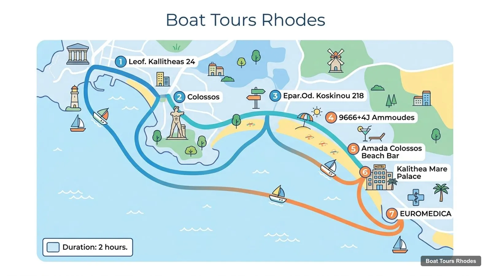
All distances on this page are straight lines between Google Maps coordinates. The coast road bends a lot, so a short line can still be a long taxi ride. The infographic further down measures from the Medieval City pin, while the numbers in the text measure from the Mandraki Marina and Port pin, so the two differ by a few hundred metres.
Where Each Tour Leaves From
Where a listing says the meeting point depends on your option, I say that instead of guessing. Prices are per person in US dollars, checked on 11 November 2026, and every tour cancels free up to 24 hours before.
Six of the 12 tours start at or next to Mandraki, so the harbour is where the Rhodes boat tour map is densest. If you are staying in Faliraki or Kolymbia, the high-speed boat to Symi offers hotel transfers from Faliraki, Kalithea, Ixia, Kremasti and Kolymbia when you select that option at checkout. The Rhodes Sea Lines cruise to Anthony Quinn Bay lists transfers as not included, at 10 euros per person from Rhodes and Ixia and 15 from Kolymbia.
Piers and Marinas
These are the piers, marinas and ports in my Google Maps data for Rhodes, with their addresses and a link to each pin. Mandraki is the one the guided tours use. The New Marina is where Google Maps shows private yacht and charter offices, and the ferry terminals are for scheduled ferries, not for these tours.
The Rhodes New Marina is 2.2 km from Mandraki in a straight line, and Kolymbia Harbor is 22.8 km. Marina Pedi on Symi is 37.8 km from Mandraki, which is why the Symi day trips take hours and not minutes. If you would rather book direct, my directory of the best-rated boat companies below this guide has the operators on a map.
Which Harbour for Which Trip
The Rhodes boat tour map groups the 12 tours into four starting areas, and the choice of area matters more than the choice of boat. If you are staying in Rhodes Town, Mandraki is a walk from the Old Town: the Medieval City is 0.56 km from the Mandraki pin and the Palace of the Grand Master is 0.46 km. That is where the submarine cruise, both sunset cruises, the Symi day trips and the all-inclusive catamaran leave, so you can book almost any of them without a taxi.
If you are staying on the Faliraki side, the Anthony Quinn Bay cruises start there, and the Rhodes Sea Lines listing says its boat is moored next to the small church in Faliraki port. The Rhodesboat rental also starts from Faliraki. The fishing trip leaves from Kolona port, outside the Old Town, and the self-drive rentals leave from Zephyros Beach and from Stegna, which are on the coast and not in the harbour. Gabriels Watersports calls itself the only watersports business on Zephyros Beach, so the beach itself is easy to recognise.
Two practical rules follow from the boat tour map of Rhodes. First, match the meeting point to your hotel before you pick the date, because a transfer is included in some listings and charged in others. The high-speed Symi boat includes hotel transfers from five resort areas when you select the option, and the Rhodes Sea Lines coast cruise charges 10 or 15 euros per person. Second, do not assume that the pier name in the title is the pier on your voucher: for the high-speed boat the listing says the meeting point may vary with the option you choose.
Sights on the Rhodes Boat Tour Map
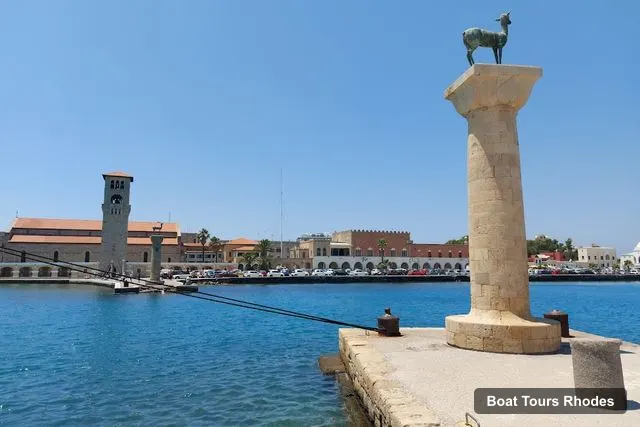
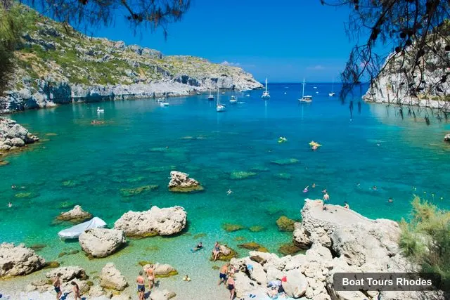
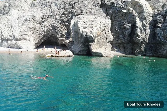
The sights on the Rhodes boat tour map are the reason many people book. From Mandraki Harbour the submarine cruise names the Old Town, the Palace of the Grand Master and the area where the Colossus of Rhodes once stood. The Colossus pin is only 0.29 km from the Mandraki pin, so it is the closest landmark to every harbour tour. South of town the pins that matter are Anthony Quinn Bay and Traganou Caves, which are the swim stops on the east-coast cruises. Both have a Google rating of 4.5, from 2,586 and 2,403 reviews.
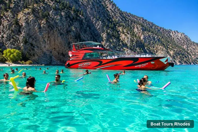
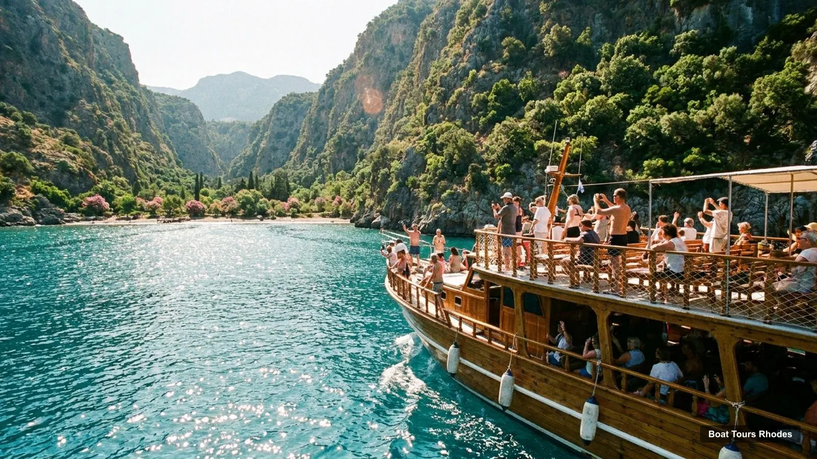
The east-coast route on the Rhodes boat tour map is the one most tours share. Boats leave Mandraki or Faliraki, call at Anthony Quinn Bay, 14.3 km from the Mandraki pin, then continue to Ladiko Bay, and some stop at Traganou Caves, 15.7 km from Mandraki. The sunset boats turn south to Kallithea Springs and come back to Mandraki. The Symi boats leave to the north-west and make their swim stop at Saint George’s Bay.
Before you leave your hotel, save the meeting point from your voucher in your phone’s map app, and look at the Rhodes boat tour map once more to see which harbour it is. Arrive early at Mandraki: the Poseidon sunset listing asks for 15 to 30 minutes, and the Symi listing advises arriving at least one hour early when you come by car, because parking can be limited.
Once you have found the pier, the rest is simple. The full comparison of every trip, with ratings and my picks, is back on the page about Rhodes boat tours.
Frequently asked questions
Where do boat tours in Rhodes leave from?+
Most leave from Mandraki Harbour in Rhodes Town, where Rhodes Sea Lines, Poseidon Submarine and SP Cruises have kiosks or piers. The Anthony Quinn Bay cruises start from Faliraki, the fishing trip from Kolona port outside the Old Town, and the rentals from Zephyros Beach, Faliraki or Stegna Beach.
Is there a map of the Rhodes boat tour piers?+
The map near the top of this page pins the boat companies, piers, marinas and sights from Google Maps, and the table lists where each of the 12 tours leaves from. Several meeting points in the listings are beaches or kiosks that Google Maps does not show as piers, so use the written directions on your voucher.
How far is Mandraki Harbour from Anthony Quinn Bay?+
In a straight line it is 14.3 km from the Mandraki Harbour pin to Anthony Quinn Bay, and 15.7 km to Traganou Caves. The boats from Faliraki shorten that sailing time. By road the distance is longer, so allow extra time if you drive to a meeting point instead of taking a pickup.
Which Rhodes marina is closest to the Old Town?+
Mandraki Marina and Port is the closest, 0.56 km from the Medieval City in a straight line, with the Rhodes New Marina 2.2 km to the south-east. Most of the guided tours I compare use Mandraki. The New Marina is where Google Maps shows several private yacht and charter offices.
Do I need to book a Rhodes boat tour in advance?+
For the sunset and dinner cruises I would, because the start time depends on the date you pick. Every one of the 12 listings cancels free up to 24 hours before the start, so booking early costs nothing extra. Check the meeting point on your voucher, because two of the 12 name a beach and one has none.
Tours I compared in Rhodes
My full review of each one, in the order I rank them: